Leica Aibot Aerial Data Capture Platform
TEST TEST Reliable UAV platform supports efficient data TEST TEST

TEST TEST TEST TEST TEST TEST
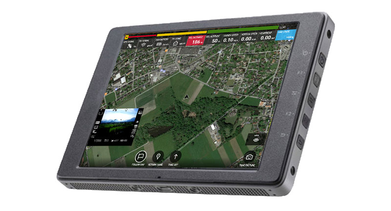
As a complete workflow management solution, UAV technology allows you to process and analyse millions of data points gathered from above and to visualise the data to provide actionable information. UAV data can be combined with existing survey technologies, such as TPS, GPS, and laser scanning providing a more complete set of information. By taking only minutes to survey a site, UAVs enable the completion of projects at a lower cost and with fewer staff.
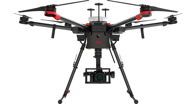
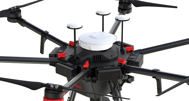
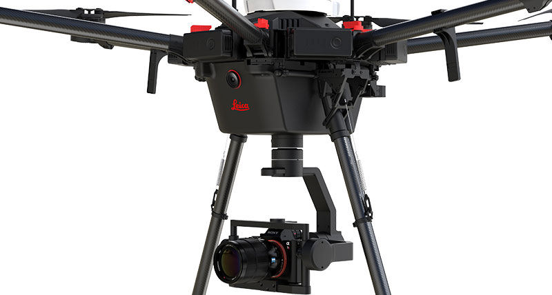
This flying platform is specifically designed for professional industrial applications. The modular design makes this system easy to set up and ready to use in just minutes. The Leica AX20 includes intelligent data asset management and trusted Leica Geosystems GNSS technology for highly accurate data. The platform can be completed with various sensor payloads.
완벽한 솔루션
라이카 Aibot은 측량, 매핑 및 건설을 위한 완벽한 UAV솔루션을 제공합니다. 또한 빠른 데이터 수집과 쉬운 워크플로우는 프로젝트기간동안 중요한 정보에 빠르게 엑세스하여 일상업무를 수행할 수 있습니다.
강력한 파트너십
라이카 Aibot 측량 및 매핑 솔루션에 사용되는 UAV는 세계 최고의 UAV제조업체인 DJI가 제공합니다. 라이카지오시스템즈와 함께, 그들은 측량 및 건설 산업에서 UAV의 선택을 유도하는 강력한 파트너십을 구축합니다.
시스템 통합
강력한 시스템 통합은 항공데이터캡처솔루션을 제공하는데 중요한 역할을 합니다. 라이카지오시스템즈의 고정밀 측정센서에 대한 광범위한 전문기술과 DJI의 혁신적인 항공장치를 완벽하게 활용함으로써 UAV기술의 잠재력을 최대한 활용할수 있습니다.
미래의 측량
이 파트너십으로 인해 최신기술과 소프트웨어를 원하는 측량 및 건설 업계에서 가장 현명한 결정을 내리는데 도움이 됩니다. 미래의 측량시장은 UAV 기술을 활용할 것입니다.


